
Little Rock ZIP Coverage
Residential delivery in Little Rock uses a set of central, south, west, and fringe ZIPs. The areas below are typical coverage descriptions, not hard legal borders. The large fringe codes need the most care because a Little Rock postal label can extend beyond incorporated Little Rock. USPS supplies the mailing answer. City Planning and parcel GIS supply the jurisdiction answer.
| ZIP | Typical Little Rock areas | Post-office context | Boundary note |
|---|---|---|---|
| 72201 | Downtown, River Market, Capitol and civic core | Downtown delivery | Compact central code |
| 72202 | Quapaw Quarter, MacArthur Park, Governor's Mansion area | Little Rock delivery | Historic east-central districts |
| 72204 | UALR, Boyle Park, John Barrow, west-central areas | Little Rock delivery | Crosses several neighborhood lines |
| 72205 | Midtown, Hillcrest vicinity, medical corridor | Little Rock delivery | Includes the state Vital Records area |
| 72206 | Southeast Little Rock and broad Pulaski County territory | Little Rock and Mabelvale-area delivery | Large city-limit mismatch |
| 72207 | Heights, Riverdale, north-central west side | Little Rock delivery | River and neighborhood lines shape it |
| 72209 | South and southwest Little Rock | Southwest delivery | Urban and peripheral areas |
| 72210 | West and southwest, Otter Creek and Bass Pro corridor | West/southwest delivery | Some parcels lie near the city edge |
| 72211 | West Little Rock, Financial Centre, Chenal-adjacent areas | West Little Rock delivery | Not the same as the Chenal boundary |
| 72212 | Pleasant Valley, River Mountain, northwest and west | West Little Rock delivery | Irregular near river and county edge |
| 72223 | Far west Little Rock, Chenal, newer subdivisions | West Little Rock delivery | Postal growth may outpace annexation |
| 72227 | West-central and northwest neighborhoods | Little Rock delivery | Bounded by several west-side codes |
This Little Rock postal directory does not assign a ZIP to every individual address. The official city-and-state lookup gives the current standardized result for a specific mailing location.
Verify Little Rock ZIP Mail
The USPS ZIP Code Lookup supports three distinct tasks: find a ZIP by address, list ZIPs by city and state, or list cities associated with a ZIP. For an actual Little Rock address, enter the street, secondary unit when needed, city, and state. Keep the standardized output. A map pin, ZIP centroid, or third-party neighborhood label is not a substitute for that address result.
| USPS field or mode | Input | When to use it | What it settles |
|---|---|---|---|
| Find by Address | Street, unit, city, state | One deliverable location | Standard mailing ZIP and format |
| Find by City & State | Little Rock, Arkansas | Survey postal codes | Codes associated with the postal city |
| Cities by postal code | Five-digit code | Check postal place names | Preferred and accepted city wording |
The official USPS form shows the mailing lookup options used for this Little Rock postal search.
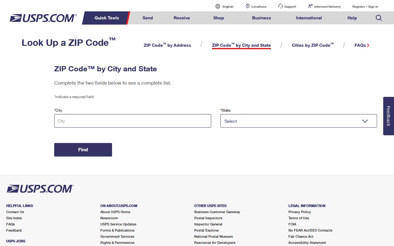
The USPS result should be paired with local GIS whenever the question concerns city limits, parcels, wards, or public services.
Little Rock ZIPs Versus City Limits
ZIPs are delivery geography. They are not governmental boundaries. A preferred “Little Rock, AR” mailing name can cover land outside the incorporated city, most notably within 72206, 72210, and 72223. Neighborhood associations, election precincts, wards, school zones, parcels, and postal routes all draw their lines for different reasons. One address can therefore belong to several overlapping areas without contradiction.
Use Little Rock GIS services or PAGIS to test the municipal and parcel question. Use USPS only for mail. If street-level ownership is the goal, continue with the Little Rock street directory process after verifying the ZIP and address.
- Five-digit ZIP
- A delivery code managed for mail routing, not a city boundary.
- ZIP+4
- A nine-digit refinement that can identify a delivery segment, building, or group of boxes.
- PO-box ZIP
- A code used for post-office boxes rather than a residential land area.
- Unique ZIP
- A code assigned for a major organization or special mail stream.
- Carrier route
- A postal delivery path that may cross local district or neighborhood lines.
Little Rock's Three Fringe ZIPs
The broad 72206, 72210, and 72223 areas deserve an address-by-address check. The first reaches southeast Little Rock and substantial Pulaski County territory. The second covers west and southwest areas near the municipal edge. The third serves far-west Little Rock and newer subdivisions where postal naming and annexation can move on different schedules.
Local history explains part of the mismatch. Pulaski Heights entered Little Rock in 1916. Mabelvale-area land was annexed in 1973, and Pankey followed in 1979. Annexation can change the city government tied to a parcel without forcing the postal system to redraw every route at once. The parcel number and legal description are more durable than a casual neighborhood or postal label.
Note: Treat fringe-area descriptions as orientation only, then verify the exact property in both USPS and local parcel mapping.
Find Little Rock Residents by ZIP
A ZIP narrows the search area, but it rarely identifies a person on its own. The Pulaski County Assessor can connect a known property address to an owner and parcel. The map checks the land. VoterView verifies one sufficiently identified voter and is not a ZIP-wide resident browser. A lawful voter-file request follows county procedure and Arkansas law, while protected fields remain excluded.
- Confirm the current mailing ZIP and standardized address through USPS.
- Check the physical parcel in Pulaski County Assessor or PAGIS and note whether it falls inside Little Rock.
- Separate the situs ZIP of the land from the taxpayer mailing ZIP. They may differ.
- Use a verified name with the record suited to the question. Do not treat an owner roll as a household list.
- If a public file extract is needed, ask the Pulaski County Clerk for current fields, geography, format, snapshot date, and lawful-use procedure.
The Pulaski County Assessor property lookup is the official starting point for owner, address, and parcel searching.

Its parcel result can distinguish the physical site from the tax-mailing destination, a key safeguard in ZIP-based work.
Little Rock Situs and Mailing ZIPs
A parcel record keeps different address types for different roles. The situs address is the physical location of the land. The taxpayer mailing address is where notices go. The legal description identifies the land through lot, block, subdivision, or metes-and-bounds wording. A different mailing ZIP may suggest an out-of-area owner, trustee, entity, or billing choice, but it does not show who lives at the Little Rock property.
Assessor advanced criteria or a raw export may support ZIP analysis when a situs or mailing field is exposed. Keep those columns separate. An owner-mail ZIP answers where tax mail goes. It cannot be turned into the ZIP of the parcel or a claim about occupancy. This distinction is one of the most important limits in a Little Rock postal directory.
Little Rock Special-Purpose ZIPs
Not every code associated with Little Rock represents a residential neighborhood. The 72203 code serves post-office boxes. Codes including 72214, 72215, 72216, 72217, 72219, 72221, 72222, 72224, 72225, 72231, 72260, and 72295 are tied to institutional, organization, unique, or box mail contexts. Verify the intended recipient rather than placing those codes on a resident map.
Population figures require the same care. Census ZIP Code Tabulation Areas, called ZCTAs, approximate postal geography for statistics. They are not live USPS route boundaries. A population number should be labeled with its ZCTA and year, and it should never be presented as an exact current count of people receiving mail in a ZIP.
ZIP Filters in Little Rock Records
Local portals do not all accept ZIP in the same way. The assessor may expose ZIP through advanced criteria or downloaded fields, but users must tell situs from owner mailing data. Arkansas VoterView requires first name, last name, date of birth, and usually Pulaski County. It does not offer a public browse-by-ZIP roll. State entity and professional-license searches may accept city while omitting ZIP, so a city filter should not be described as a ZIP search.
The Arkansas Business and Commercial Services page illustrates a state records channel that organizes entity records rather than residents by postal zone.
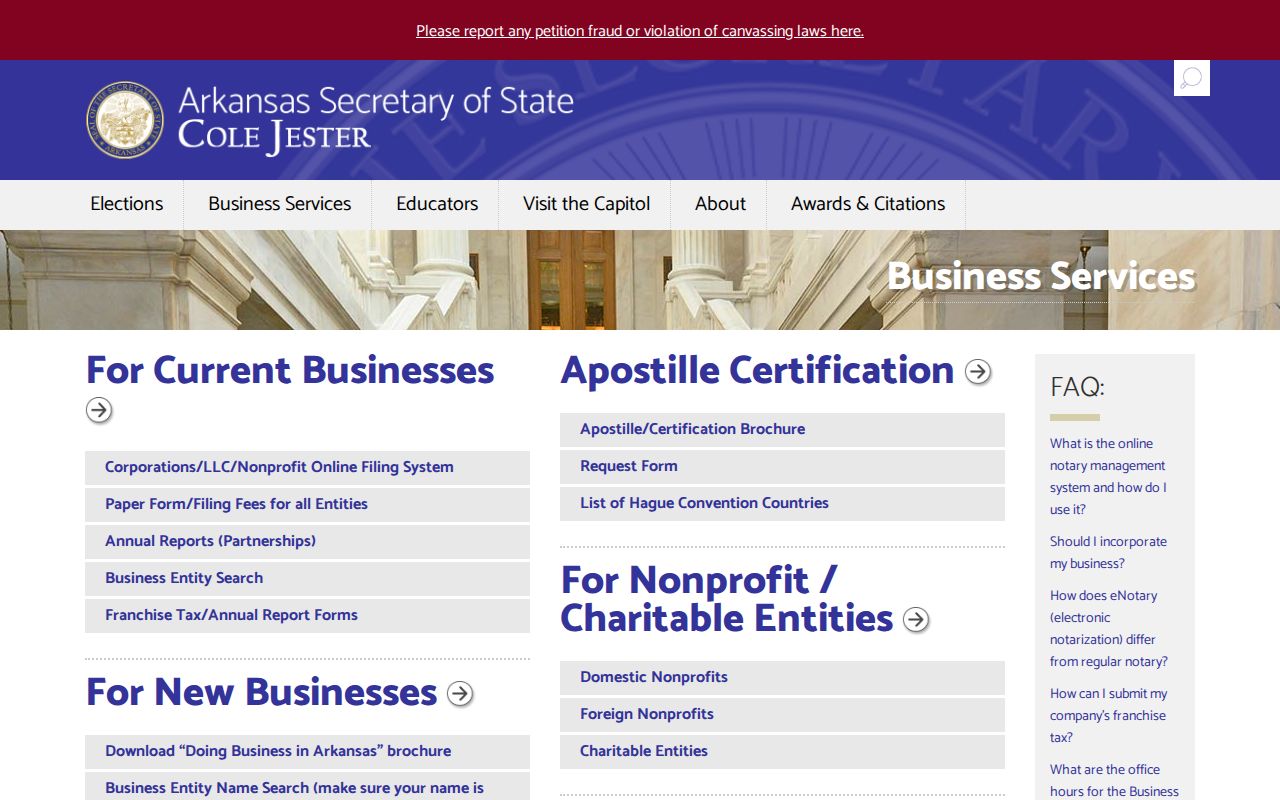
Its city-oriented business context should stay separate from claims about private people in a Little Rock ZIP.
When no online ZIP field exists, use the fallback chain: verify one address through USPS, inspect the parcel map, call the record custodian, or request an existing public file in a stated geography and format. Arkansas agencies generally need not create a new compilation under FOIA.
Little Rock ZIPs and Voter Data
Voter geography follows residence, precinct, and district lines, not postal convenience. Arkansas VoterView confirms status, polling place, precinct or district information, and a sample ballot for a voter who supplies identity details. It is not a public street or ZIP directory. Registration can also lag a move, and an inactive status does not prove that a person left Little Rock on a certain date.
The full county file is obtained through the Pulaski County Clerk under Arkansas Constitution Amendment 51, Ark. Code §7-5-109, and current clerk procedure. A request should state fields, geography, format, election snapshot, and lawful purpose. Protected data are excluded. Elections staff can be reached at 501-340-8336 for current export procedure and cost because no official public form or fee was found in the research.
The official Code of Arkansas Rules is the controlling online rules publication and is updated weekly.
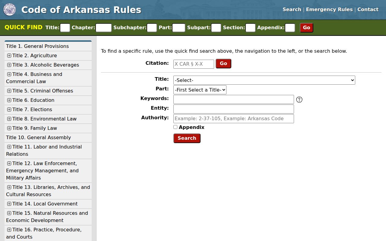
Current rules and custodian instructions should be checked before relying on a ZIP-based public-file request.