
Walk a Little Rock Street
A street search works best as a chain, not a single query. The first aim is to identify the land with a parcel number and legal description. Those details remain useful when a street name, number, or city boundary changes. The owner name then opens the recorded-instrument index. Permit and directory evidence adds dates and people, but neither should be made to prove more than it shows.
- Enter the site address in the Pulaski County Assessor lookup. Save the parcel number, situs address, owner, mailing destination, legal description, subdivision, and any sale reference.
- Open the parcel in PAGIS. Confirm the parcel shape, then pan along the road and select each lot rather than guessing from house numbers.
- Use the owner and likely purchase period in the Pulaski real-estate index. Match the deed by lot, block, subdivision, or metes-and-bounds description.
- Check Little Rock permit and code layers for address-based work, dates, and roles. An applicant may be an owner or contractor, so read the field label.
- Use a lawful voter-file route or a Roberts Library reverse directory for added residence clues. VoterView itself cannot browse a street.
The result is evidence with clear roles: assessor for taxation, PAGIS for geography, deeds for title, permits for work, and directories for listed occupants. That distinction keeps a Little Rock street directory accurate.
Search Little Rock Addresses Precisely
The Pulaski County Assessor property lookup is the strongest first stop by address. The office maintains more than 170,000 taxable real-property accounts and states that all county real-estate records are online. Its separate mapping and raw-data tools are reached through the services page. A broad street query may help, but a failed result can reflect a unit, direction, spelling, or format difference rather than a missing parcel.
| Search control | Input | Required | Best use |
|---|---|---|---|
| Owner Name | Text | No | Try surnames, initials, trusts, and entity names |
| Property Address | Text | No | Search the physical or situs address |
| Parcel Number | Text | No | Use the exact county identifier for precision |
| Subdivision or legal criteria | Text or list | No | Group lots where the portal offers the mode |
| Search / Reset | Button | No | Run or clear the current criteria |
The returned card may include owner and co-owner names, parcel placement, tax-mailing destination, values, land and building traits, sale references, and a map link. It should not be read as a household roster.
The official assessor records and mapping page shows where those online services begin.
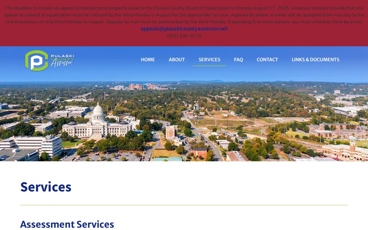
The captured page separates record lookup, mapping, and data access, which helps keep each address task tied to the right county tool.
Little Rock Street Address Meanings
One of the most useful Little Rock street-directory clues is also easy to misuse. The situs address locates the taxed land. The mailing address is where the owner wants tax notices sent. When they match, owner occupancy may be plausible. When they differ, the owner may be absent, a trustee or entity may handle the account, or the owner may simply prefer another mail destination. Neither result names every person living at the site.
- Parcel
- A county-defined unit of land with its own identifier and tax record.
- Situs address
- The physical address assigned to the parcel, not the taxpayer's mailing destination.
- Plat
- A recorded map that divides a subdivision into lots, blocks, streets, and easements.
- Criss-cross directory
- A reverse directory arranged by street and number instead of by a person's surname.
A homestead or other exemption flag can support an owner-occupancy theory, but it still does not identify all residents. Renters, relatives, and other household members may appear nowhere on the parcel card.
Note: Treat the taxpayer mailing field as correspondence evidence, never as proof of who sleeps at the Little Rock address.
Browse Little Rock Streets in PAGIS
The PAGIS parcel viewer turns a point address into street context. Locate the parcel, copy its identifier, zoom until lot lines are clear, and click nearby polygons one at a time. Little Rock lots differ in width. Corner parcels may front on another street, while a condominium or campus can contain several legal parcels under what looks like one address.
Useful layers include parcels, aerial imagery, flood areas, zoning, wards, subdivisions, permits, neighborhoods, and historic streets. Exact toolbar labels can change, but the city GIS catalog confirms these subjects. Map geometry answers where a parcel lies. The linked assessor card supplies the tax identity.
The official PAGIS entry point is shown below as the map source for this Little Rock street directory.

The viewer supports visual checks along a block, which is safer than assuming that consecutive street numbers represent adjacent parcels.
Little Rock Records by Street
No single public record is a full Little Rock street directory. Each address-keyed set contributes one part of the chain. Availability also varies between a live portal, an office counter, and a request to the custodian.
| Address record | Official keeper | Street evidence | Access route |
|---|---|---|---|
| Parcel card | Pulaski County Assessor | Owner, mailing and situs, legal description, value | Free online lookup or counter |
| Parcel geometry | Assessor / PAGIS | Boundaries, nearby lots, map layers | Free interactive map |
| Deed, mortgage, plat | Pulaski Circuit and County Clerk | Parties, transfer, security, recorded land identity | Online index plus recorded copy or counter |
| Permit or code case | Little Rock Planning and Development | Address, work, date, status, named role when public | City GIS or records request |
| Reverse directory | Roberts Library | Listed occupant sequence by numbered address | Research Room, later Polk volumes |
| Voter information | Pulaski County Clerk | Eligible fields from a lawful file request | Clerk procedure and Arkansas use limits |
If a portal fails, use the documented fallback. The assessor has an office counter at 201 S. Broadway, Suite 310, and the Pulaski clerk handles real-estate records at 401 W. Markham. City permit material can be requested from Planning or through the City Clerk under the Arkansas Freedom of Information Act. Historical sources shift to Roberts Library or the Arkansas State Archives.
Little Rock Deeds Along Streets
The Pulaski Circuit and County Clerk indexes deeds, mortgages, releases, liens, plats, easements, and other real-estate instruments. Searches are chiefly organized by grantor and grantee, instrument type, recording date, instrument number, and book/page. Because the index is person-based, the assessor supplies the current owner and likely acquisition period first.
Match a candidate deed to the parcel's legal description. The grantee receives an interest; the grantor conveys it. Then search the grantor as an earlier grantee to move back one sale. A street address alone may not appear in older instruments. A lot and block in a named subdivision, or a metes-and-bounds description for an older tract, is more durable.
The official site does not publish a reliable earliest online index year. For older or absent entries, call 501-340-8500 or visit the clerk on weekdays from 8:00 to 5:00 and ask for grantor/grantee books, deed books, plats, archived images, and current copy charges.
Note: A deed names title parties, not every Little Rock resident who occupied the property during that ownership period.
Little Rock Permits by Address
Little Rock's city GIS services expose layers for permits, code enforcement, historic streets, subdivisions, tax parcels, wards, zoning, neighborhoods, and aerial imagery. Permit attributes can show that work was recorded at an address, along with a type, status, or date where populated. The named applicant may be a contractor rather than the owner or occupant.
Use the map as discovery. Save a permit or case number, address, department, and narrow date range, then ask Planning and Development for the underlying public record when the layer lacks an application, inspection note, or attachment. Arkansas FOIA applies to existing records and does not require the city to create a custom street list or research an address for the requester.
Code records require the same care. A case shows an administrative process tied to a site. It does not, by itself, prove who caused a condition or who lived there at that time.
VoterView Is No Street Directory
Arkansas VoterView verifies one sufficiently identified voter. It requires first name, last name, date of birth, and usually Pulaski County. It can return registration and polling details for that person. It is not an open browse-by-street roll, and repeated guesses at sensitive inputs are not a valid way to build one.
A lawful county voter-file request goes through the Pulaski County Clerk under Arkansas Constitution Amendment 51, Ark. Code §7-5-109, and current clerk procedure. State law restricts use, while protected identifiers and Address Confidentiality Program records are excluded. The research did not locate a current public export form or fee, so Elections at 501-340-8336 is the proper source for present terms.
Registration can lag a move. An inactive status does not prove a person left on a set date, and participation history never reveals how anyone voted. Compare any permitted voter clue with a record from the same period.
Little Rock Streets in Reverse
Later R. L. Polk volumes at Roberts Library contain reverse or criss-cross sections that arrange entries by address. They are the historical counterpart to the modern street directory because a researcher can follow street numbers and see listed householders, businesses, vacancies, intersections, and sometimes rear units. The exact shelf run is not published online and should be confirmed with staff.
Roberts Library's second-floor Research Room at 401 President Clinton Avenue also has city directories, microfilm, newspapers, archival collections, and on-site genealogy databases. Its normal schedule is Tuesday through Friday from 10:00 to 5:00 and Saturday from noon to 4:00, but hours should be checked before travel. For full collection detail, use the Little Rock city directories page.
Directory absence is weak evidence. Apartments, new construction, people without listed service, rural edges, and residents omitted by past publishing practice can all disappear from a printed run.
Little Rock Streets Across Annexations
The most durable street-directory tip is to preserve the parcel number and legal description before moving backward. Pulaski Heights joined Little Rock in 1916. Mabelvale-area land entered in 1973, and Pankey followed in 1979. A road can therefore shift among postal, municipal, and directory geographies even when the recorded lot does not change.
Little Rock's conventional core uses numbered east-west streets and named north-south streets. Later subdivisions have curved roads and their own block plans. City Planning and PAGIS establish municipal jurisdiction, while USPS confirms the mailing form. Neither a postal city name nor a ZIP alone proves that an address fell inside Little Rock in an earlier year.
No single official master chronology of every renaming or renumbering was found. When a modern address vanishes from an older source, search subdivision plats, historic-street layers, directory street indexes, Sanborn map indexes, and old newspapers by legal description or nearby landmark.
Owners Are Not Little Rock Residents
Only 53.5 percent of occupied Little Rock homes were owner-occupied in the current Census QuickFacts period cited by the research. That number explains the central gap in any assessor-led street directory: nearly half of occupied homes cannot be represented by simply copying owner names from parcel cards.
For current household evidence, public sources remain limited. Utility customers and DMV addresses are not open street rolls. VoterView is an identity check, and protected voters are withheld. A parcel may be owned by a trust or company. Reverse directories can list past occupants, but their entries reflect the publisher's method and year.
The sound conclusion states exactly what was found: “tax owner,” “tax-mailing destination,” “listed directory occupant,” or “permit applicant.” It avoids upgrading a clue into a claim of present residence.
Limits of Little Rock Street Records
A Little Rock street directory cannot reveal every renter, child, relative, guest, or unlisted adult. It cannot open utility accounts, driver records, sealed cases, adoption or juvenile files, or a protected address. Even a public deed exists to establish title, not to expose the private life of everyone connected with a home.
Corrections belong with the custodian. Use the parcel number for an assessor error, an instrument number for a deed-index issue, and a permit or case number for a city file. Ask the office what proof it needs and which portions can lawfully be changed or redacted.
Lawful use. Little Rock address records are for lawful personal research, family and property history, and civic understanding. Never use them to stalk, harass, threaten, trespass, or expose a protected location.