
Little Rock Previous Resident Sources
Choose a source by the period and the claim being tested. The assessor begins with today's parcel. Deeds extend ownership backward. Reverse directories and census schedules restore the household layer. Maps and aerials show what stood on the land, while probate and obituaries explain why names disappear or title changes.
| Source | Years it covers | Where held | What it shows |
|---|---|---|---|
| Assessor parcel card | Current plus displayed sale history | Pulaski County Assessor | Owner, mailing and situs, legal description, building facts |
| Online deed index | Cutoff not officially published | Pulaski clerk portal | Recorded ownership chain and instrument references |
| Older deed books | County formation era onward, gaps must be checked | Clerk, Archives, FamilySearch catalog | Earlier grantor, grantee, and land identity |
| City directories | Nineteenth and twentieth centuries, irregular runs | Roberts Library and some digitized volumes | Named occupants, spouse, address, and work clues |
| Reverse Polk directories | Later volumes, exact run requires shelf check | Roberts Library | Address-to-occupant sequence and block context |
| Federal census | Released schedules through 1950 | NARA and genealogy databases | Household members, relationships, ages, birthplaces |
| Sanborn maps and city aerials | Multiple map editions; aerials for 1943, 1960, 1970 | LOC, Roberts, Archives, city GIS | Building form, use, old numbers, and site change |
Start recent address history online. Move to the clerk's counter and library shelves when the electronic trail ends. For early land, territorial, federal, county, and New Madrid claim records may matter because Pulaski County dates to 1818 and Little Rock became the territorial capital in 1821.
Fix the Little Rock Parcel
Before tracing previous residents, capture the parcel number and full legal description from the Pulaski County Assessor. Also note the situs address, owner, taxpayer mailing destination, subdivision, building facts, exemption flags, and sale references. The legal description is the bridge between modern property data and older deeds.
This step matters in Little Rock because municipal growth altered address context. Pulaski Heights was annexed in 1916, Mabelvale-area land in 1973, and Pankey in 1979. Street names and numbers may shift, while a recorded lot and block can remain constant. A postal place name also does not prove the historic city limit.
- Grantor / grantee
- The grantor conveys an interest in land; the grantee receives it.
- Chain of title
- The linked sequence of recorded transfers for the same land.
- Legal description
- The lot, block, subdivision, or metes-and-bounds text that identifies land apart from its street address.
- Enumeration district
- A census-taker's assigned area, used to browse schedules when a name index fails.
Note: Save the legal description before searching past residents because it survives many street, number, and boundary changes.
Walk Pulaski Deeds Backward
The Pulaski Circuit and County Clerk holds deeds, mortgages, releases, liens, plats, easements, and related instruments. Its indexes are chiefly keyed by grantor and grantee, document type, recording date, instrument number, and book/page. A deed shows title parties and land. It does not establish every previous resident.
- Use assessor sale history to locate the current owner's purchase period and exact parcel identity.
- Search the owner as grantee in the Pulaski recorded-instrument index. Open or request the purchase deed.
- Record the grantor, instrument date, recording date, document reference, and complete legal description.
- Search that grantor as an earlier grantee, then repeat only when the same lot, block, subdivision, or metes-and-bounds text matches.
- When online indexing ends, ask for grantor/grantee indexes, deed books, plats, and archived images at the clerk, Archives, or through the FamilySearch place catalog.
The official office page does not state the earliest digitized deed year. Avoid assigning a cutoff. The Pulaski clerk can confirm current portal coverage and copy terms at 501-340-8500. Its counter at 401 W. Markham is open weekdays from 8:00 to 5:00.
Match Little Rock Past Households
Ownership and occupancy are separate timelines. At Roberts Library, ordinary city-directory sections run by surname, while later Polk reverse sections run by street address. Start with the address in the nearest available year, copy the listed name exactly, then check the alphabetical entry for a spouse, work clue, widow notation, or variant spelling.
- Choose the directory year closest to a deed, permit, or known family event.
- Check the reverse address section where available, then confirm each name in the alphabetical section.
- Move one volume backward and one forward. Record a gap without assuming a move or death.
- Pair 1940 or 1950 directory evidence with the released federal census. Use the address and enumeration district when a name search misses.
- Compare household relationships and ages, then return to deeds, probate, or newspapers for independent support.
The 1950 census is the newest public federal census under the 72-year rule. The 1960 schedule is due for release in 2032. Exact Little Rock directory and reverse-directory shelf runs were not published in the researched catalog, so call Roberts Library at 501-320-5700 before relying on a closed date range. Collection details belong on the Little Rock city directories page.
Date Little Rock Address Changes
Sanborn fire-insurance maps and Little Rock's dated aerial mosaics do not name previous residents. They answer a different set of questions: whether a structure appears, how its footprint or use changed, and which old number or street label belonged to the site.
For Sanborn work, identify the edition and index sheet first. Then record street name, number, outline, building material, story count, use, and outbuildings. Compare the next edition. The map dates what the surveyor mapped, not the exact build date. Little Rock GIS adds aerial checkpoints from 1943, 1960, and 1970, useful for postwar growth and westward change.
Combine sources. A new aerial footprint, a tax assessment change, a permit, and the first directory occupant can narrow a building's history far better than any one item. City permit records may name an applicant, contractor, or owner, so preserve the role instead of calling each name a resident.
Little Rock Addresses Move on Paper
A naive exact-address search can fail across annexation or renaming. Little Rock's downtown grid differs from curved subdivision streets in later growth areas. Quapaw Quarter sites may join nineteenth-century deeds, directories, and Sanborn maps. Midtown and western subdivisions fit better with reverse Polk volumes, aerials, permits, and the 1950 census.
No official master list of every Little Rock street renaming or renumbering was located. When an address disappears, pivot to the legal description, subdivision plat, historic-street GIS layer, directory street index, Sanborn index, and old newspaper. Search a nearby cross street or institution when the number has changed.
The city GIS service directory is a useful index in its own right. Its named layers include historic streets, permits, parcels, subdivisions, zoning, wards, neighborhoods, and the three dated aerials. The consumer map may present those layers under changing menu labels.
Little Rock Probate Trail Endpoints
A death can break a clean deed sequence. Title may remain in the decedent's name until probate, a small-estate affidavit, distribution deed, or another instrument is filed. Search the decedent, personal representative, heirs, and later deed parties. Then verify the case number and public events through the clerk.
The Pulaski clerk's Central Receiving page provides court functions and probate forms, including a probate cover sheet and small-estate affidavit.
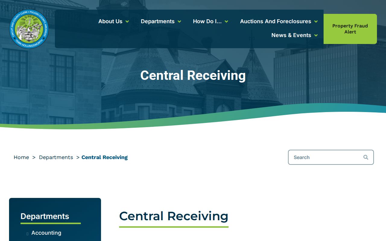
The official clerk route connects a past owner's name to the probate file that may explain a later transfer, while the recorded deed remains the proof of land title.
Obituaries can identify relatives, married names, former communities, church, cemetery, and funeral home. Newspapers and cemetery memorials are leads, not final proof. Compare them with court filings, burial registers, or an eligible vital-record request. Arkansas death certificates remain restricted for 50 years under state law.
Little Rock Records Cross Eras
Pulaski record access crosses paper and digital eras. Electronic filing became mandatory for attorneys in Pulaski Circuit Court in March 2013. Search ARCourts soft-launched in January 2024 as the replacement for Public CourtConnect, while transition work continued. A missing remote result may call for the clerk, not a conclusion that no record exists.
The Arkansas Judiciary's Build Initiative update documents continuing case-management modernization.
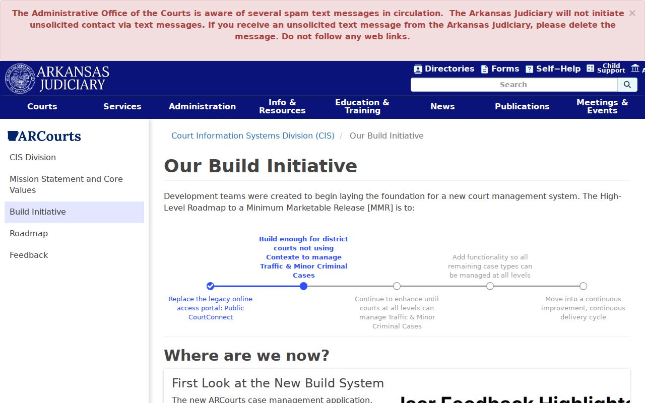
The captured update is a reminder that portal coverage changes. For an address-history probate endpoint, the Pulaski clerk still supplies the official or archived file and answers image-access questions.
The same fallback rule applies elsewhere. The Arkansas State Archives holds state and county government records, maps, newspapers, photos, and genealogy indexes. Roberts Library holds directories, microfilm, manuscripts, and licensed databases. Search the catalog first, then ask staff about unprocessed or onsite material.
Label Little Rock Previous Residents
Each name in an address history needs a source and a role. A deed supports owner or title party. A reverse-directory line supports listed occupant for that edition. A census supports a household on the enumeration date. A permit supports the named applicant, contractor, or owner field. An obituary supports a reported relationship or prior place that should be checked elsewhere.
| Finding | Careful conclusion |
|---|---|
| Owner and situs match | Possible owner occupancy, not a complete household |
| Owner and mailing differ | Different notice destination, not proof of absence |
| Name in reverse directory | Listed occupant for that volume's date and method |
| Name in probate | Role in an estate case, not automatic residence |
| Address absent one year | A gap that may reflect omission, renaming, vacancy, or change |
Past residents can vanish from a volume because of a move, death, marriage, name change, annexation, or simple omission. Women and Black residents were also unevenly represented by some historic publishing practices. Church, school, institutional, and Black newspaper collections can restore context missing from conventional lists.
Note: A dated, source-labeled timeline is more reliable than merging every Little Rock name into one undifferentiated address roster.
Use Past Little Rock Names Lawfully
Previous-resident research works well for family history, estate questions, preservation work, and curiosity about a home's past. It does not justify tracking a living person or publishing protected information. Current utility accounts, DMV addresses, sealed cases, adoption records, juvenile files, and Address Confidentiality Program locations are not gaps to work around.
When a government record is wrong, contact the office that keeps it. Give the parcel, instrument, case, or file number and the proof supporting a correction. An opt-out request sent to a commercial compiler cannot alter an official deed, assessment, or court docket.
Lawful use. Trace Little Rock previous residents for legitimate house and family history. Never use a past or current address to stalk, harass, threaten, trespass, or harm anyone.