
Little Rock Neighbor Source Map
Different records answer different block questions. PAGIS reveals parcel geometry and adjacency. The Pulaski County Assessor links each parcel to an owner, tax mailing destination, situs address, values, and legal description. City layers can add permits, zoning, subdivisions, neighborhood boundaries, wards, and historic streets. A lawfully requested voter file has its own limits. Roberts Library reverse directories can reconstruct listed households in past years.
| Source | What It Shows About a Block | Access |
|---|---|---|
| PAGIS parcel map | Boundaries, adjacent parcels and parcel identifiers | Free online map |
| Assessor parcel cards | Owners, situs, tax mailing, values and legal descriptions | Free portal or assessor counter |
| Little Rock GIS and permits | Permitted work, neighborhood, zoning and historic layers | GIS or a focused city records request |
| Voter records | Eligible address fields in a lawful county file | Clerk request with limits; not VoterView browsing |
| Reverse directories | Listed occupants arranged by street in a given year | Roberts Library and digitized holdings |
| Neighborhood Connections | Association names, boundaries and public civic contacts | City page and neighborhood GIS layer |
Ownership is not occupancy. A tax mailing address can match the site, differ from it, or belong to a trust or entity. Renters and other household members may never appear. Use this neighbor source map to label each finding by record type and date.
Map Little Rock Neighbors Nearby
Use map adjacency because Little Rock lots do not follow one neat numeric sequence. A corner parcel may face a cross street. A condominium can contain many units under one mapped footprint. Apartment sites, alleys, drainage land, and broad commercial tracts also break simple assumptions. Start from the correct polygon, then walk outward one parcel at a time.
- Find the target address in the Pulaski County Assessor lookup or PAGIS map.
- Select the target polygon and record its parcel number, situs, and legal description.
- Zoom until boundaries are clear, then click every touching or nearby parcel individually.
- Open each linked assessor card and record owner, mailing destination, and date-specific parcel facts.
- Check city permit or neighborhood layers only after the parcel set is fixed.
A radius or buffer can define a study area when the map offers one, but every result still needs review. A broad radius may pull in land across a freeway, creek, rail line, or wall that is not part of the lived block. When the task shifts from nearby parcels to an entire named road, use the Little Rock street directory for the longer street chain.
Note: Copy the parcel identifier before leaving the map because street labels and interface wording can change while the land identity remains stable.
Owners Are Not Neighbor Rosters
The Pulaski County Assessor says all county real-estate records are online, making it a strong first check for an owner. A parcel card may show owner or taxpayer name, co-owner or entity, parcel number, situs, legal description, subdivision, mailing destination, value, building traits, sale references, and an exemption flag. Those fields support tax administration. They do not name every person who sleeps at the address.
- Parcel
- A defined unit of land identified by the county for assessment and mapping.
- Situs address
- The physical location assigned to the land or improvement.
- Tax mailing address
- The destination for assessment notices, which may differ from the situs.
- Owner occupancy
- A possible inference from several matching facts, never a complete household roster.
Homestead or matching mailing information can support an owner-occupancy inference, but neither proves it. An exemption may be old, limited, or keyed to facts not shown on the public card. A distant mailing address can reflect an absentee owner, yet it may also reflect a trustee or billing choice. Describe the record as an owner record and stop there unless another independent source supports more.
Little Rock Neighbor Voter Rules
The Arkansas Secretary of State voter information page explains the official registration and VoterView route. The captured source shows the statewide entry point used for Little Rock neighbors.
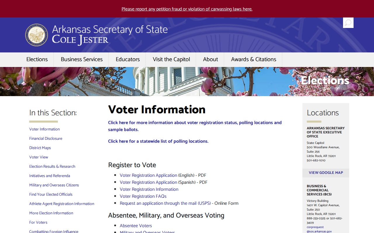
VoterView is an individual self-check. It requires first name, last name, date of birth, and usually Pulaski County. It can return status, polling site, precinct, districts, and a sample ballot for a sufficiently identified voter. It does not let a visitor browse everyone on a Little Rock block.
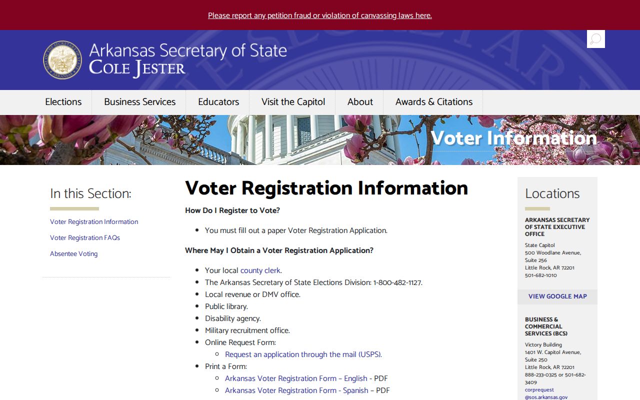
The official voter-registration information also describes residence and processing rules. Its captured page reinforces that a submitted application is not final until the county clerk processes and confirms it.
A county file request runs through the Pulaski County Clerk under Arkansas Constitution Amendment 51 and Ark. Code §7-5-109. State the fields, geography, format, election snapshot, and lawful purpose. The current local export form and fee were not published in the research, so confirm both with Elections at 501-340-8336. Protected identifiers and Address Confidentiality Program records are excluded.
Voter-roll myth. VoterView verifies one identified voter. It is not a public resident directory or a block-level neighbor search.
Little Rock Neighborhood Directory Layer
Little Rock recognizes many neighborhood associations. The community layer includes Downtown, Quapaw Quarter, Capitol View-Stifft Station, Hillcrest, Heights, Riverdale, Central High, South End, Southwest, Westwood/Pecan Lake, Chenal-area groups, and many others. The city’s Neighborhood Connections program and GIS boundary layer are the authoritative starting inventory. These are civic geography and contact tools, not household rolls.
| Community Resource | Useful Detail | Limit |
|---|---|---|
| Neighborhood Connections | Recognized association names and public contacts | Contacts are not a member list |
| City neighborhood GIS layer | Mapped association name and boundary | Boundary may not match an HOA, ward, subdivision, or ZIP |
| Public officer listings | Civic point of contact for meetings or projects | No claim about all residents |
| Consensual group directory | Contacts shared within a club or congregation | Permissioned, not an open public record |
Association borders can overlap a familiar neighborhood name or stop short of it. An HOA may cover only one subdivision inside a broader area. A ward serves elections. A ZIP serves mail. Keep all four labels separate when describing Little Rock neighbors.
Note: Ask an archive for historical deposited rosters, but treat any current association or congregation directory as permissioned material.
Little Rock Block Records Requests
City permit and zoning records add facts about the place around a resident. A public permit may show the address, work type, date, status, applicant, contractor, or property owner as those roles were recorded. Do not collapse applicant or contractor into resident. Little Rock’s public GIS service catalog identifies layers for permits, parcels, neighborhoods, historic streets, zoning, wards, subdivisions, and aerial imagery.
If a layer does not expose enough detail, send a focused Arkansas FOIA request to the department that keeps the existing file. Include the address, permit or project type, department, and date range. Ask for electronic delivery and release of any separable public portion. Arkansas FOIA does not require the city to research a block, answer a question, or create a new list.
The Little Rock City Clerk’s official page is a route for municipal records and request guidance. The captured page marks that local access channel.
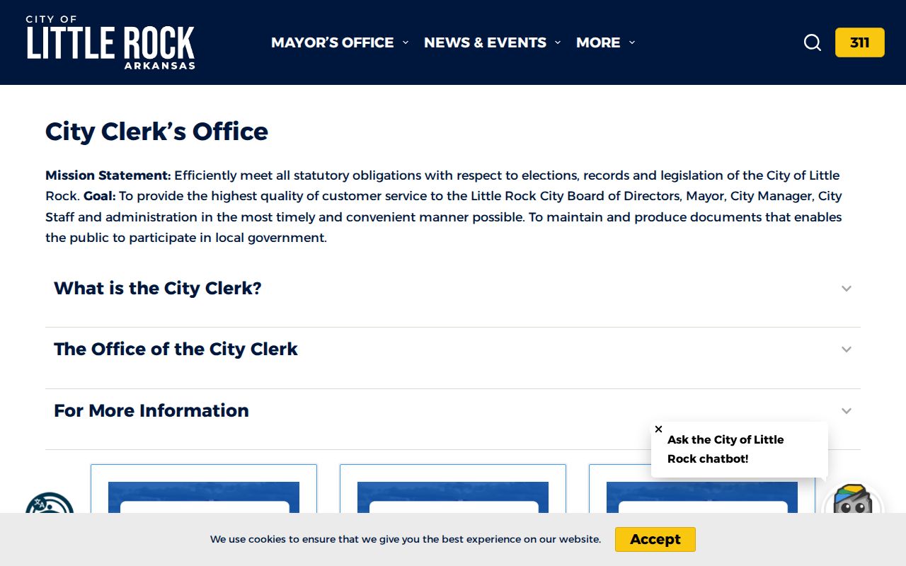
Planning and Development may hold operational permit or zoning material, while the City Clerk covers municipal minutes, ordinances, contracts, and administrative records. Route the request to the likely custodian first. Phone or in-person contact can clarify whether a record is online, archived, or held by another division.
Past Little Rock Neighbors
A modern Little Rock parcel map fixes today’s block, while a reverse city directory can restore listed occupants from an earlier year. Reverse directories arrange entries by street and address rather than only by surname. Roberts Library is the main local shelf and research-room route. Historical volumes, newspapers, yearbooks, manuscripts, and digitized Butler Center collections can explain who was listed near an address and what changed nearby.
Use the nearest available directory year, then compare another year. A person listed at an address was an entry in that edition, not proof of every household member or the exact move date. Census schedules through 1950 can add household detail at ten-year points. Property deeds reveal ownership, while directories are often better for occupancy. Local archives and the Pulaski County Historical Society can connect names with buildings, schools, clubs, cemeteries, and civic events.
Block history matters where geography changed. Pulaski Heights joined Little Rock in 1916, and later annexations expanded the city farther. Street and municipal labels can shift even when a parcel’s legal description persists. Preserve the parcel number, lot, block, and subdivision before moving into older directories or maps.
Official Little Rock Neighbor Evidence
Official and commercial neighbor tools serve very different roles. A county or city record identifies its keeper, date, and legal purpose. A commercial compilation may merge public files with marketing data, repeat an old address, or combine two people with the same name. It can be quick, but it is not the custodian’s record.
| Question | Official Record | Commercial Compilation |
|---|---|---|
| Source | Named assessor, clerk, city, library, or archive | Combined data with uneven source detail |
| Meaning | Defined field tied to a stated public function | Inferred identity or address relationship may be unclear |
| Correction | Evidence goes to the record custodian | Separate privacy or correction process |
| Best use | Verify a parcel, filing, permit, or dated entry | Unverified lead requiring official confirmation |
A compiler’s removal process does not erase an assessor card, deed, docket, or other record kept by law. Conversely, a public record correction must be directed to the keeper with the exact identifier and proof. For a Little Rock block search, the official route is slower in some cases but much clearer about what the result means.
Privacy Around Little Rock Neighbors
A neighbor lookup has firm limits. Utility accounts, delivery data, motor-vehicle addresses, adoption files, sealed cases, and protected voter information are not open block directories. Arkansas’s Address Confidentiality Program supplies a substitute address to qualifying victims of domestic violence, sexual assault, stalking, or similar threats. Enrollment facts and the real location are not ordinary public lookup material.
Do not publish a compiled household roster. Record only the fields needed for a lawful personal aim, such as understanding parcel lines, checking a permit, learning the civic association, or researching the history of a block. A public association officer is a contact for civic work, not an invitation to infer membership. An assessor owner is a title or tax clue, not a list of occupants.
Lawful use. Local block records may support civic curiosity and personal safety. Never use them to watch, harass, threaten, trespass, or expose a protected person.
Arkansas stalking and harassment statutes apply regardless of where a fact was found. When safety is at issue, use law enforcement and the Address Confidentiality Program rather than trying to defeat a protected address. Accuracy and restraint protect both the searcher and the people on the block.